
STELLENBOSCH MOUNTAIN
.
.
June 2022
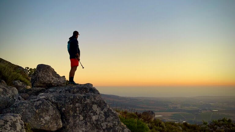
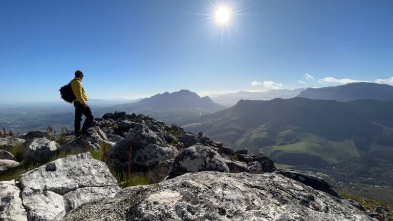
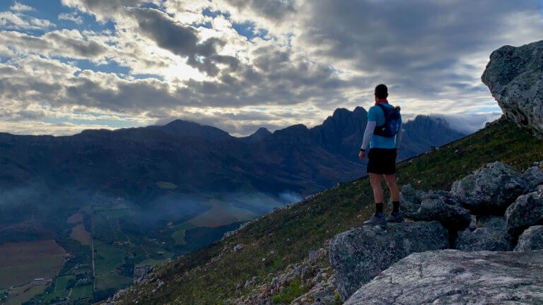
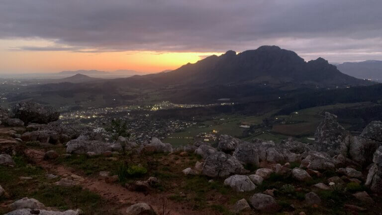
There are 2 main hiking routes to the top of Stellenbosch Mountain, one starting at Coetzenberg and the other from Paradyskloof. The trail from Coetzenberg takes you past Tweede Kruis (2nd cross) which has a nice resting point with fantastic views of Simonsberg, the Jonkershoek Valley and the Stellenbosch CBD. We will therefore focus on that route.
This is a moderate to tough hike, leaning more towards tough, and is suitable for hikers with good fitness levels. The trail is not technical, so there is no scrambling per say, however what makes it hard is the elevation gain combined with the conditions under foot when coming down. The terrain is made up of loose rock and stones, golf ball and tennis ball size, making it easy to slip and slide or twist an ankle. But if you take it slow you will be fine. Remember it’s not a race, you are here to have fun and enjoy the scenery.
Park at Coetzenburg, between the University rugby fields and athletics track, and make your way across the rugby field and up onto the Jeep track. Follow the trail as if you were hiking to Tweede Kruis. See our review here. Once you have made it to the 2nd cross you will have completed roughly 40% of the hike. If you struggled to get to this point you may want to consider turning back, as it only gets steeper and harder from here.
Once you’ve made it to the 2nd Cross you’ll see a solar panel, cell phone tower/station, and beyond that you will see the trail going up the mountain. This section of the trail is steep and can be a slog, so break it up and stop when you need to. It takes over an hour, or more, to get to the top from the 2nd cross depending on your pace.
There will be four peaks that you need to make your way over to before you get to the summit. Follow the path and be on the look out for cairns (pyramid shaped piles of stone which show you are going in the right direction). The first peak takes roughly 20 minutes from the cross, and is separated from the 2nd peak by a relatively flat section of trail. The path then kicks up again, with a very brief respite between the 2nd and 3rd peaks. There will be a short scrambling section along the route, but it is not difficult.
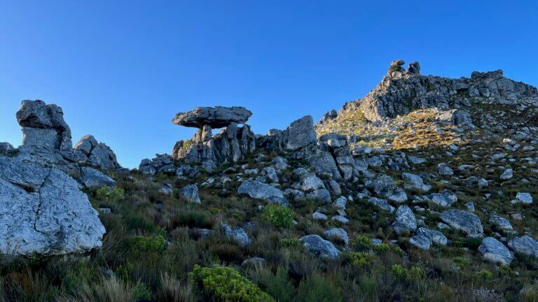
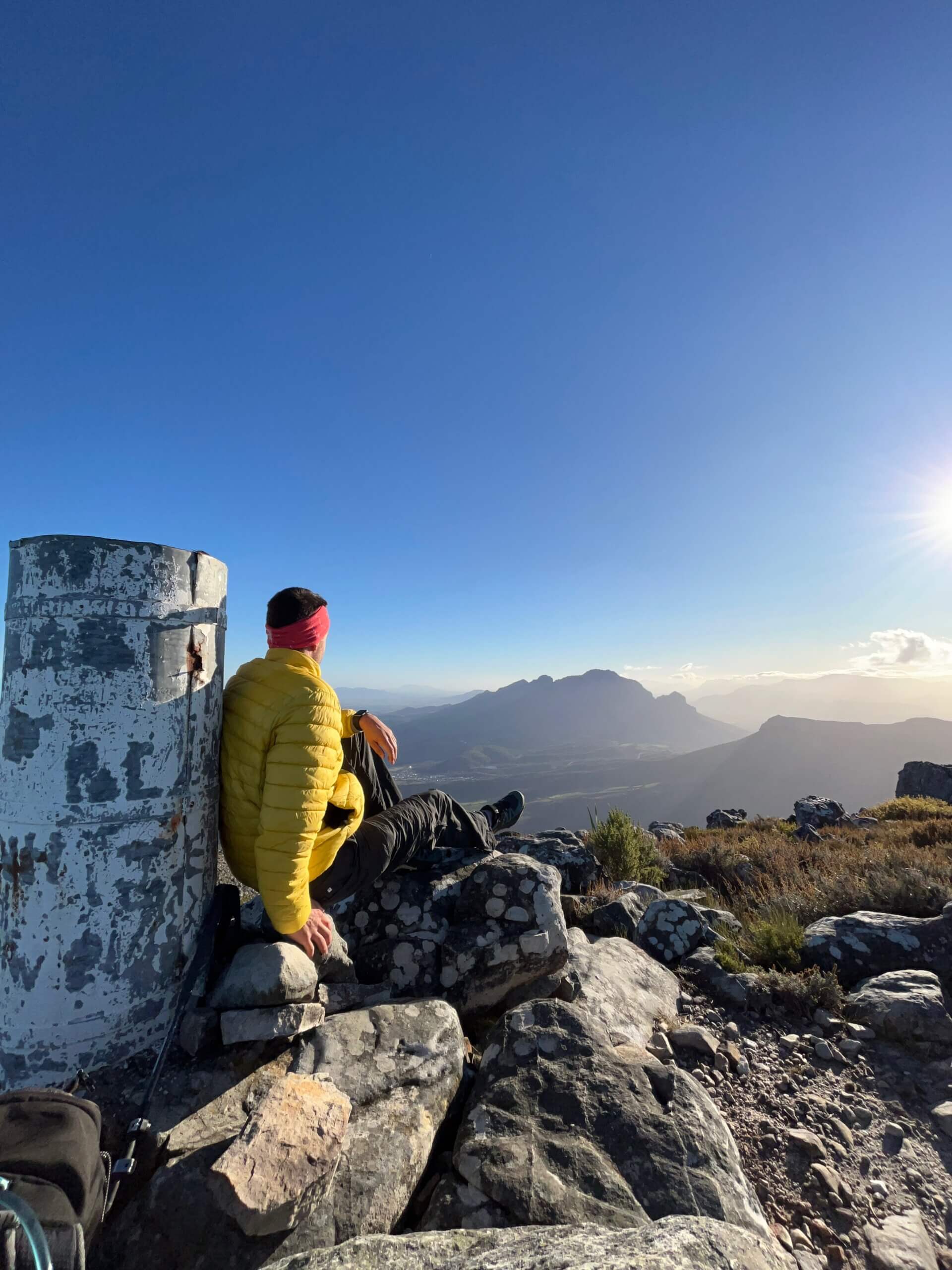
Once you’ve made it to the top of the third peak there will be another short flat section before your final push to the top. The trail does become a little less clear at this point as you will be navigating your way through a field of sandstone boulders. Be on the lookout for cairns, or the trig beacon, or try the more adventurous route and just make your way in the direction of the top. Note that the sandstone boulders are like large pieces of sandpaper, which can be a tad abrasive on your hands and legs. So bring a pair of gardening gloves to protect yourself.
On your way down stick to the same trail, and watch out for the loose stones and rocks. It can also get cold and windy on the top, so bring adequate warm gear. Ive been up top in the middle of summer and found myself wishing I had brought long pants! But in saying that, Ive also been there on a clear and calm day in summer, and this is when you want to start this hike early to avoid the heat of the sun.
Please note that this is our interpretation of the hike and is not meant to be used for navigation purposes. Hiking can involve dangerous elements, and remember that the weather on top of a mountain is always different to that at the base. Remain aware of your surroundings at all times, wear the appropriate clothing and footwear, don’t litter and stick to the foot paths. Do not light a fire no matter what.
NEED TO KNOW:
- DURATION: 3 – 5 hours depending on your fitness levels.
- DISTANCE: ±12 km
- ELEVATION GAIN: ±950M
- EFFORT LEVEL: 8/10
- TECHNICAL DIFFICULTY: 6/10
- REQUIREMENTS: Comfortable shoes, water bottle, snacks, warm top.
- ENTRY FEE: No entry fee.
- AMENITIES: Toilets at the university
- SAFETY: 8/10 Always monitor your surroundings.
- ACCESSIBILITY: You will need to be fit and mobile to complete this hike.
- SCENERY: 8/10
Send us a message and together we will design your day of fun and adventure!
STELLENBOSCH
MOUNTAIN


June 2022
There are 2 main hiking routes to the top of Stellenbosch Mountain, one starting at Coetzenberg and the other from Paradyskloof. The trail from Coetzenberg takes you past Tweede Kruis (2nd cross) which has a nice resting point with fantastic views of Simonsberg, the Jonkershoek Valley and the Stellenbosch CBD. We will therefore focus on that route.
This is a moderate to tough hike, leaning more towards tough, and is suitable for hikers with good fitness levels. The trail is not technical, so there is no scrambling per say, however what makes it hard is the elevation gain combined with the conditions under foot when coming down. The terrain is made up of loose rock and stones, golf ball and tennis ball size, making it easy to slip and slide or twist an ankle. But if you take it slow you will be fine. Remember it’s not a race, you are here to have fun and enjoy the scenery.
Park at Coetzenburg, between the University rugby fields and athletics track, and make your way across the rugby field and up onto the Jeep track. Follow the trail as if you were hiking to Tweede Kruis. See our review here. Once you have made it to the 2nd cross you will have completed roughly 40% of the hike. If you struggled to get to this point you may want to consider turning back, as it only gets steeper and harder from here.
Once you’ve made it to the 2nd Cross you’ll see a solar panel, cell phone tower/station, and beyond that you will see the trail going up the mountain. This section of the trail is steep and can be a slog, so break it up and stop when you need to. It takes over an hour, or more, to get to the top from the 2nd cross depending on your pace.
There will be four peaks that you need to make your way over to before you get to the summit. Follow the path and be on the look out for cairns (pyramid shaped piles of stone which show you are going in the right direction). The first peak takes roughly 20 minutes from the cross, and is separated from the 2nd peak by a relatively flat section of trail. The path then kicks up again, with a very brief respite between the 2nd and 3rd peaks. There will be a short scrambling section along the route, but it is not difficult.
Once you’ve made it to the top of the third peak there will be another short flat section before your final push to the top. The trail does become a little less clear at this point as you will be navigating your way through a field of sandstone boulders. Be on the lookout for cairns, or the trig beacon, or try the more adventurous route and just make your way in the direction of the top. Note that the sandstone boulders are like large pieces of sandpaper, which can be a tad abrasive on your hands and legs. So bring a pair of gardening gloves to protect yourself.
On your way down stick to the same trail, and watch out for the loose stones and rocks. It can also get cold and windy on the top, so bring adequate warm gear. Ive been up top in the middle of summer and found myself wishing I had brought long pants! But in saying that, Ive also been there on a clear and calm day in summer, and this is when you want to start this hike early to avoid the heat of the sun.
NEED TO KNOW:
- DURATION: 3 – 5 hours depending on your fitness levels.
- DISTANCE: ±12 km
- ELEVATION GAIN: ±950M
- EFFORT LEVEL: 8/10
- TECHNICAL DIFFICULTY: 6/10
- REQUIREMENTS: Comfortable shoes, water bottle, snacks, warm top.
- ENTRY FEE: No entry fee.
- AMENITIES: Toilets at the university
- SAFETY: 8/10 Always monitor your surroundings.
- ACCESSIBILITY: You will need to be fit and mobile to complete this hike.
- SCENERY: 8/10
Please note that this is our interpretation of the hike and is not meant to be used for navigation purposes. Hiking can involve dangerous elements, and remember that the weather on top of a mountain is always different to that at the base. Remain aware of your surroundings at all times, wear the appropriate clothing and footwear, don’t litter and stick to the foot paths. Do not light a fire no matter what.
Send us a message and together we will design your day of fun and adventure!
STELLENBOSCH
MOUNTAIN

June 2022
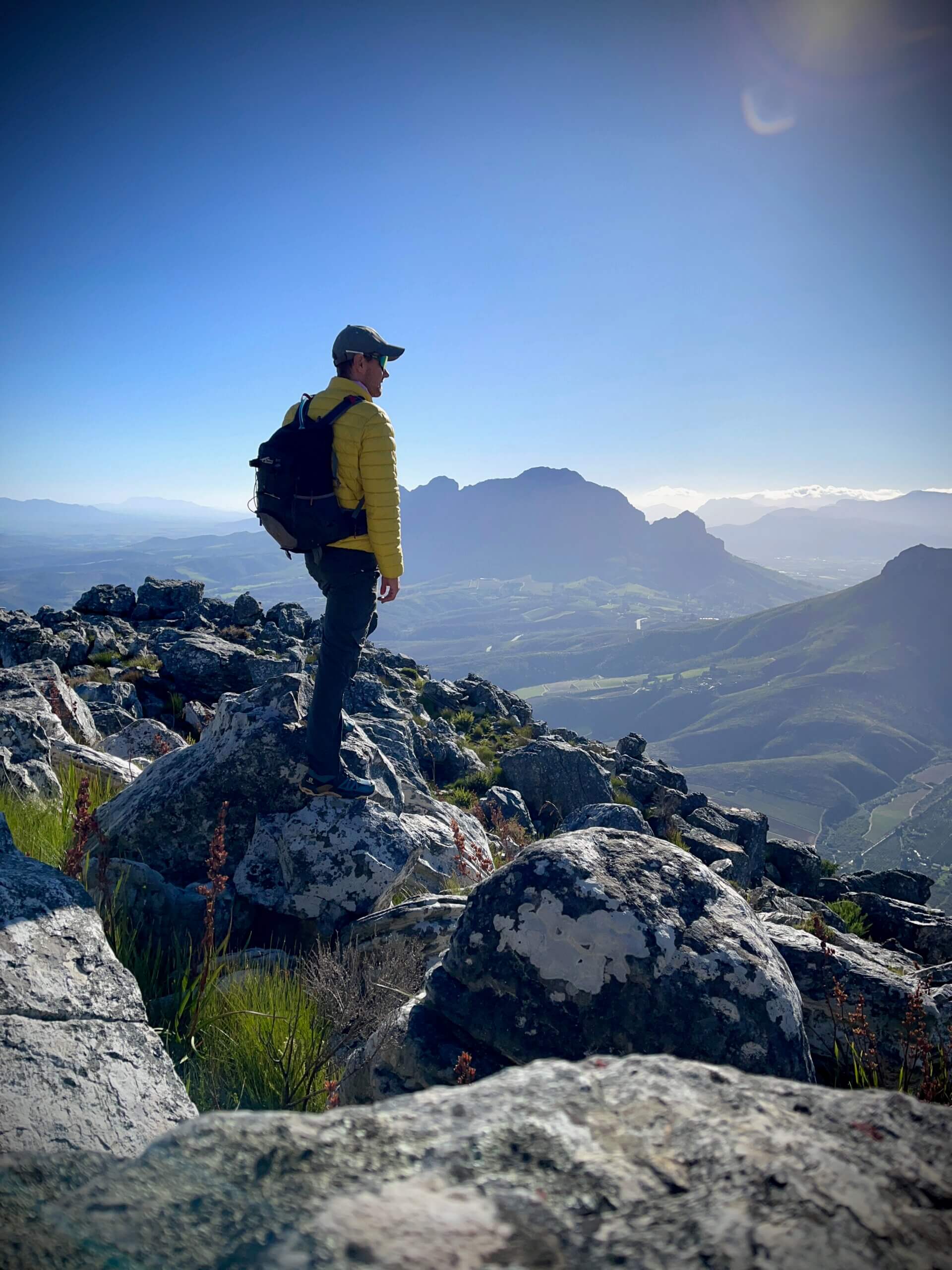
There are 2 main hiking routes to the top of Stellenbosch Mountain, one starting at Coetzenberg and the other from Paradyskloof. The trail from Coetzenberg takes you past Tweede Kruis (2nd cross) which has a nice resting point with fantastic views of Simonsberg, the Jonkershoek Valley and the Stellenbosch CBD. We will therefore focus on that route.
This is a moderate to tough hike, leaning more towards tough, and is suitable for hikers with good fitness levels. The trail is not technical, so there is no scrambling per say, however what makes it hard is the elevation gain combined with the conditions under foot when coming down. The terrain is made up of loose rock and stones, golf ball and tennis ball size, making it easy to slip and slide or twist an ankle. But if you take it slow you will be fine. Remember it’s not a race, you are here to have fun and enjoy the scenery.
Park at Coetzenburg, between the University rugby fields and athletics track, and make your way across the rugby field and up onto the Jeep track. Follow the trail as if you were hiking to Tweede Kruis. See our review here. Once you have made it to the 2nd cross you will have completed roughly 40% of the hike. If you struggled to get to this point you may want to consider turning back, as it only gets steeper and harder from here.
Once you’ve made it to the 2nd Cross you’ll see a solar panel, cell phone tower/station, and beyond that you will see the trail going up the mountain. This section of the trail is steep and can be a slog, so break it up and stop when you need to. It takes over an hour, or more, to get to the top from the 2nd cross depending on your pace.
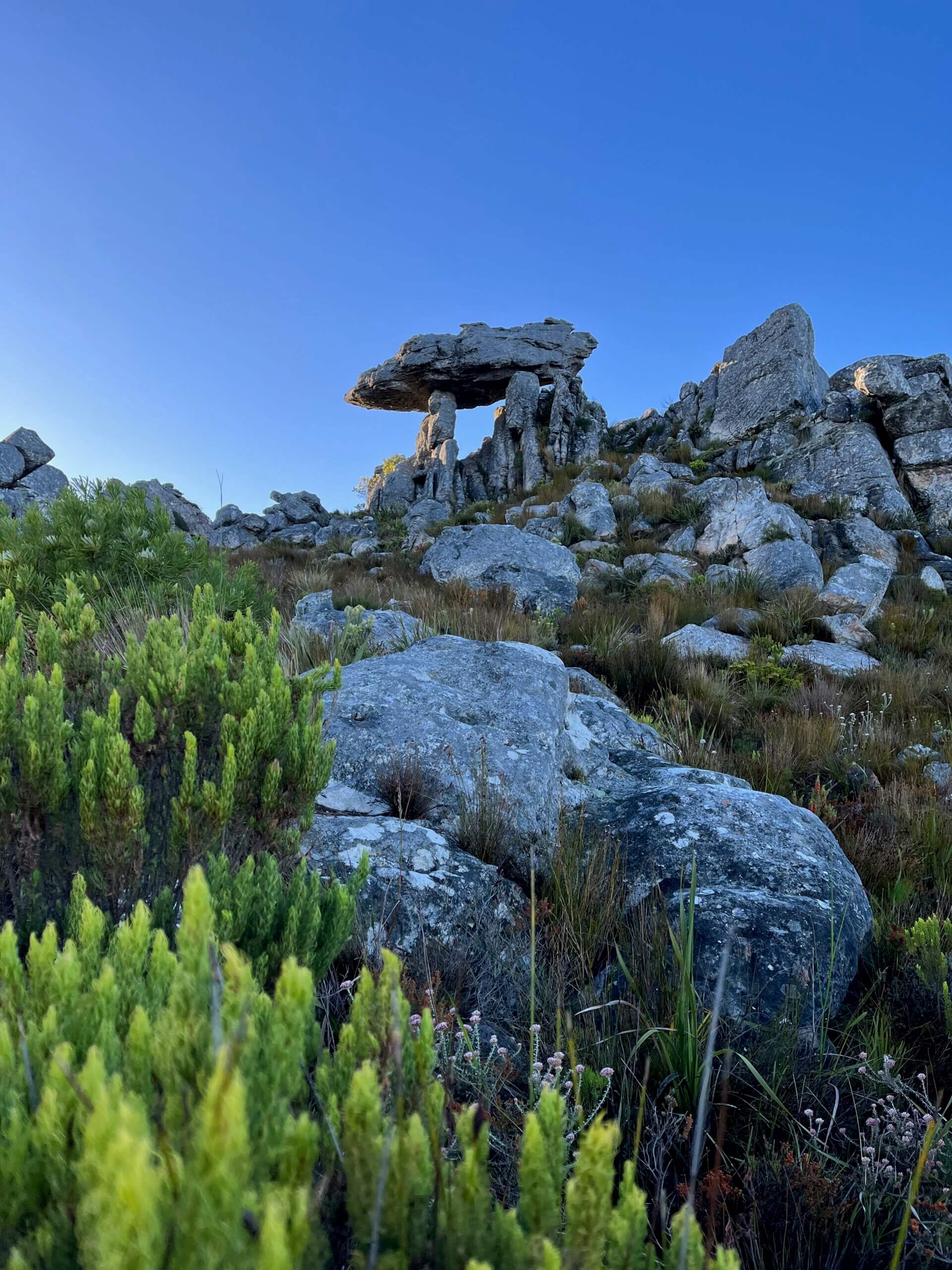
There will be four peaks that you need to make your way over to before you get to the summit. Follow the path and be on the look out for cairns (pyramid shaped piles of stone which show you are going in the right direction). The first peak takes roughly 20 minutes from the cross, and is separated from the 2nd peak by a relatively flat section of trail. The path then kicks up again, with a very brief respite between the 2nd and 3rd peaks. There will be a short scrambling section along the route, but it is not difficult.
Once you’ve made it to the top of the third peak there will be another short flat section before your final push to the top. The trail does become a little less clear at this point as you will be navigating your way through a field of sandstone boulders. Be on the lookout for cairns, or the trig beacon, or try the more adventurous route and just make your way in the direction of the top. Note that the sandstone boulders are like large pieces of sandpaper, which can be a tad abrasive on your hands and legs. So bring a pair of gardening gloves to protect yourself.
On your way down stick to the same trail, and watch out for the loose stones and rocks. It can also get cold and windy on the top, so bring adequate warm gear. Ive been up top in the middle of summer and found myself wishing I had brought long pants! But in saying that, Ive also been there on a clear and calm day in summer, and this is when you want to start this hike early to avoid the heat of the sun.
NEED TO KNOW:
- DURATION: 3 – 5 hours depending on your fitness levels.
- DISTANCE: ±12 km
- ELEVATION GAIN: ±950M
- EFFORT LEVEL: 8/10
- TECHNICAL DIFFICULTY: 6/10
- REQUIREMENTS: Comfortable shoes, water bottle, snacks, warm top.
- ENTRY FEE: No entry fee.
- AMENITIES: Toilets at the university
- SAFETY: 8/10 Always monitor your surroundings.
- ACCESSIBILITY: You will need to be fit and mobile to complete this hike.
- SCENERY: 8/10
Please note that this is our interpretation of the hike and is not meant to be used for navigation purposes. Hiking can involve dangerous elements, and remember that the weather on top of a mountain is always different to that at the base. Remain aware of your surroundings at all times, wear the appropriate clothing and footwear, don’t litter and stick to the foot paths. Do not light a fire no matter what.
Send us a message and together we will design your day of fun and adventure!